Bill, how big were the surges? We topped out at 8.2 feet, had a bunch near that, loads of smaller ones, we are still getting little ones.
I'll bet your harbor is full of junk still, our's is. Brookings lucked out on that, most of their junk went out to sea with the Chetco. Anything happen at Noyo?
The Smith and the Klamath were made to run upstream, both were near bank to bank full, thank God it was low tide. Even that cow piddle Elk Creek that empties in the bay, got backed up, looked like a slough.
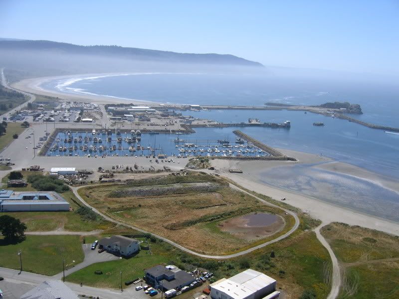
This is what the Crescent City harbor used to look like and odd enough, we had the same sunny day as this 5 year old pic has.
The breakwater on the right edge, is where our CG Cutter lives, it was nearly inundated. That square patch of water is the inner boat basin, most of the wreckage was there. The damage goes well beyond boats and docks. The main jetty, the Whaler Island breakwater, the entrance to the boat basin were all undermined and eroded. The Klamath or Eel at high flood aren't ####. Drain and flood, drain and flood, drain and flood, drain and ####ing flood all day long. As many as five times in one hour. It smelled of low tide, sounded like heavy freeway, with periodic convoys of trucks. I stood in the road out front and watched.
I tried to sleep, between the low growl, helicopters and that mother####ing siren, I got maybe three hours. I had had my Beam, I am signing out

