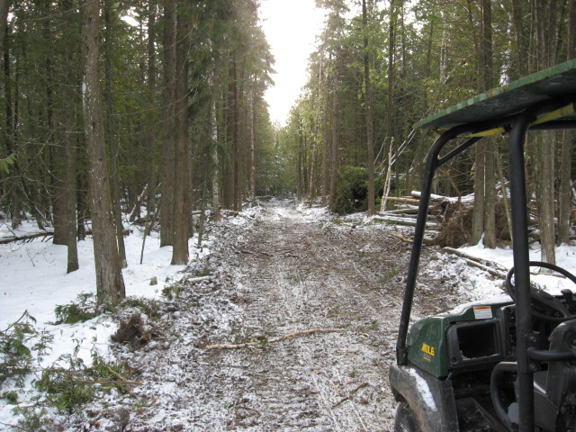
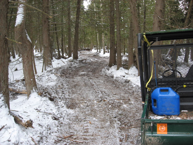
Before winter started, the logger that plans to start up soon, and I --mainly I found a wonderful old growth punkin to use for a tail tree on one setting.
The problem was, we couldn't see the yarder for all the trees, or from the yarder, the tail tree. That's the bad thing about thinnings. Planning without seeing can take a lot of legwork. Skyline corridors need to be flagged in so I can approve the location and mark the additional trees to be cut.
We hobbled around and then the first dump of snow came. So, it was game off.
Well, in the meantime, we got some Garmin GPS's. I haven't spent any time until today trying to figure it out. After giving up on the instruction manual, (no I don't want to know all the restarante's at the junction with I-5) I started my usual learn by pressing buttons method. Here's the findings from my EUREKA moment.
I will go to the yarder setting and press the MARK button. This saves a waypoint, which I will name YARDER.
I'll then stumble down the hill to the big tree and make another waypoint. That'll be TREE.
I'll then highlite YARDER and that gives me the azimuth back up to the yarder.
I'll set my Silva Compass on that azimuth and I should come out at the yarder. We can flag a corridor this way. Stay tuned....I can't wait to try it out.


